Big Bear wasn't even the plan - it was the road to Lake Arrowhead. We stopped at the lake for a while on the way through, and it's cute - really cute - but not quite cute enough for the summer crowds.
To pull over and look at the lake. Forest Service lots, like the trailhead lots, take an Adventure Pass at $5 a day, or an America the Beautiful pass.
For a stop at the lake on the way through, like ours. Much longer if you're there for the trails or off-road routes.
Take the easy way up
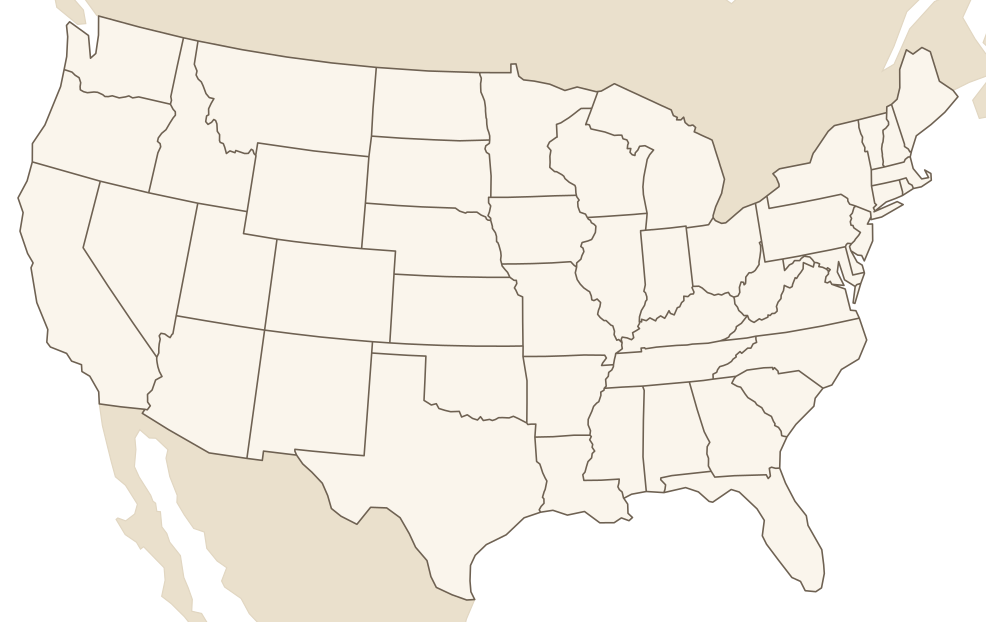
We came in from Vegas on Highway 18, climbing up from Lucerne Valley. I'd been looking for a less twisty road up to Lake Arrowhead, and a past house-sit recommended going through Big Bear instead. Honestly, it was so much better a drive - I didn't get carsick once. It's slightly winding, but nothing like the other approaches, and I actually enjoyed it.
We have chains somewhere in the car, but we didn't need them - it wasn't even that cold. From late autumn into spring, though, chain controls can go up on the mountain roads, so check Caltrans before you head up.
Stop on the north shore
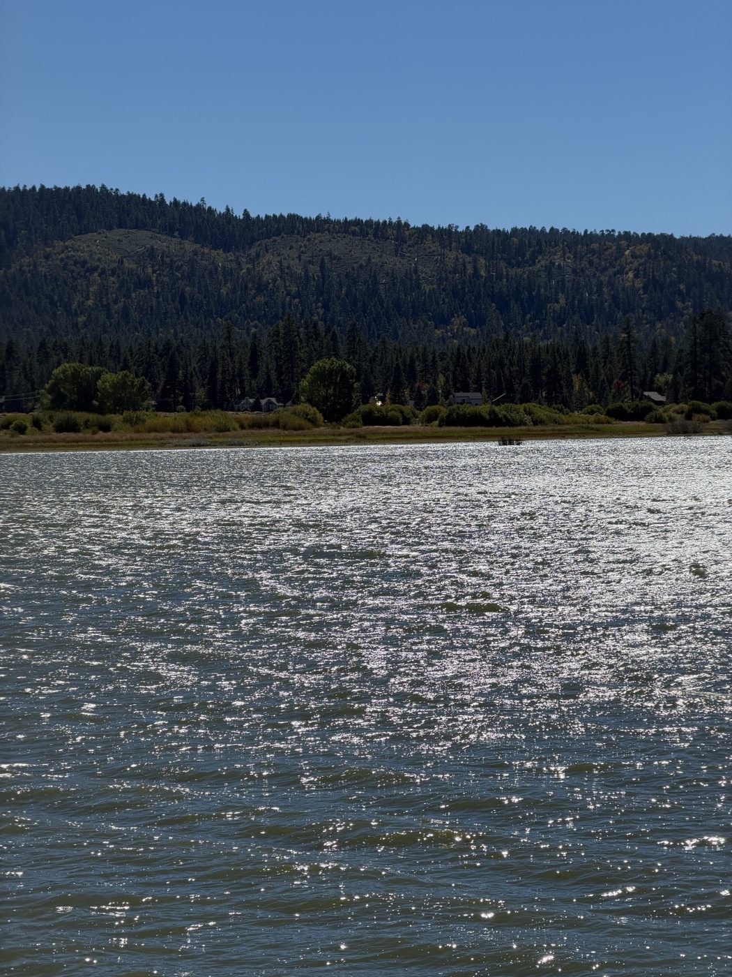
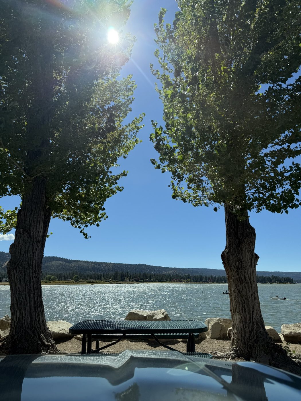
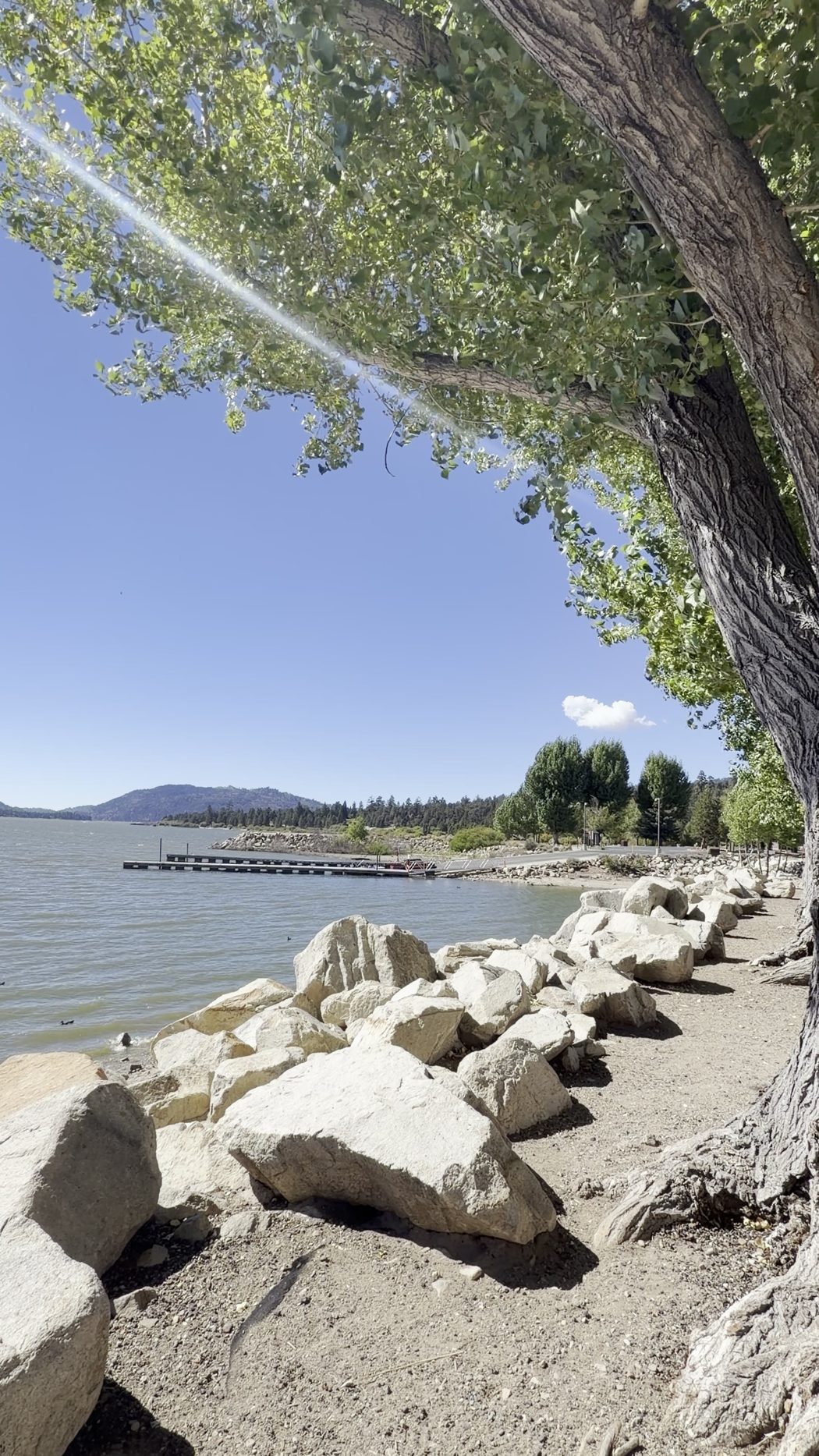
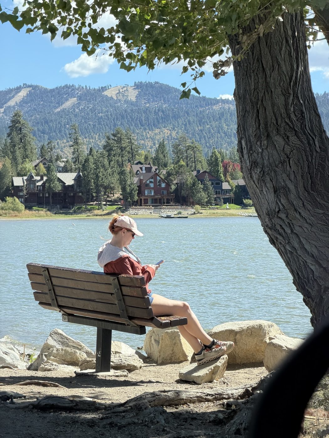
We pulled over at the east boat ramp on North Shore Drive. There's a boat launch, picnic tables right on the water, and a trailhead across the street. It was really pretty, and really busy - lots of people fishing, and lots of people just sitting and enjoying it.
We sat and looked at the lake for a while, and that was the whole plan. It was cool and very breezy, with a storm rolling in, but out of the wind it was warm and really, really pleasant.
Parking
We didn't pay to park, but there were pay stations around, so I think you may have to pay on some days or at some times of year.
The Forest Service lots - like the trailhead lot across the road - take an Adventure Pass, which is $5 a day, or an America the Beautiful pass. If you're planning to hike, sort one out before you go.
Rentals everywhere
About 5,000 people live in the city of Big Bear Lake. On a busy weekend, the valley swells to over 100,000 - and you can see it in town. There's rental lodging everywhere, with sign after sign for cabins and places to stay, plus the food spots and the everyday things like the post office and the visitor centre.
That volume of rentals is what made it feel touristy to me. Town was busy too - lots of cars on the road, and people milling about on foot. It's still charming, and everything is kind of unique. It just knows it's a getaway.
Go in the shoulder season
It's cute, but it's not that cute. If it already felt that busy on a Friday in October, I can't imagine what it's like when the population quadruples.
So I'd go in the shoulder seasons - spring and autumn - and just go and look at the lake. Don't try to get out on it in peak season with everyone else.
Pack for the mountain
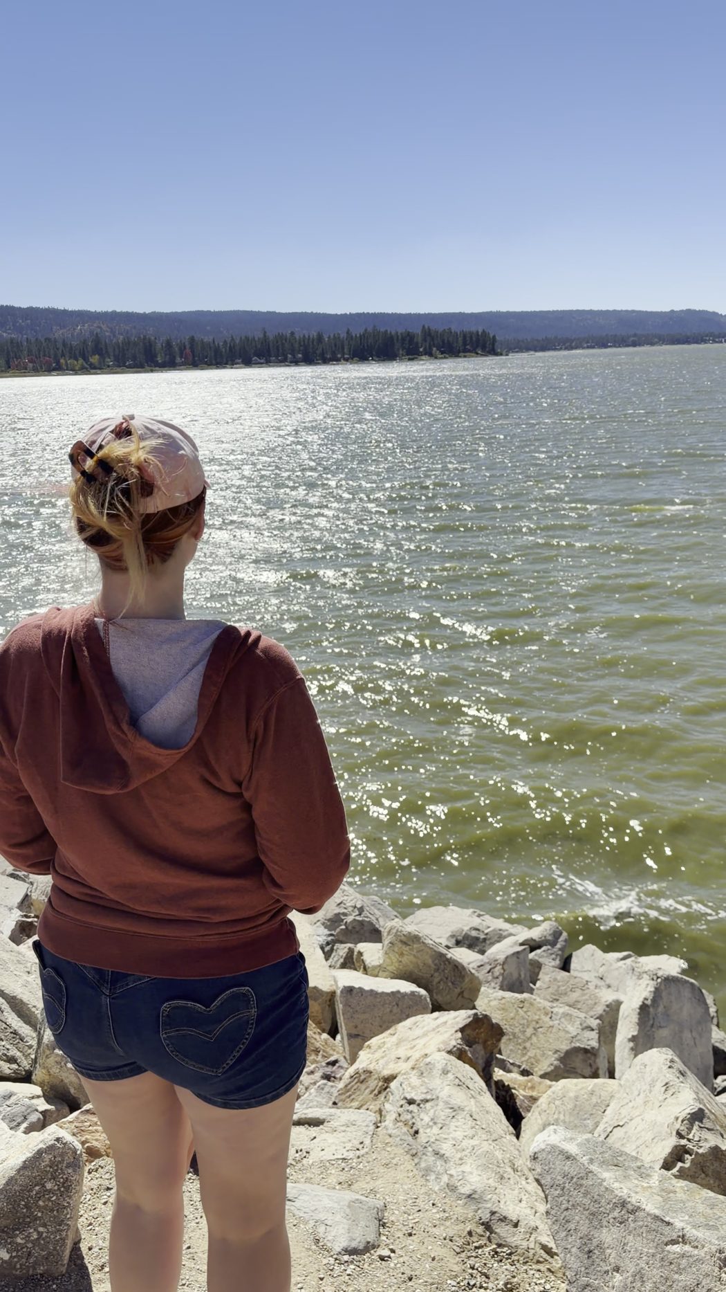
You're about 6,750 feet up, and going that high into the mountains is always a different temperature from where you start. Bring layers.
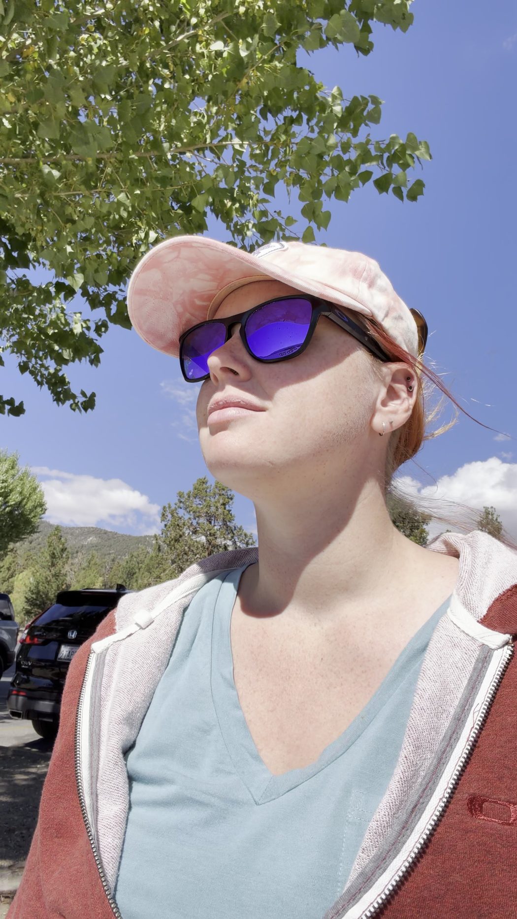
Bring a hat, sunglasses and sunscreen too - the sun is strong up there, even when the wind is cold.
What I'd go back for
We didn't do any hikes this time, and that's what I want to go back for. There's so much room to run around and explore, with trails and off-road routes all over.
Do your research first, though. Based on what I saw, the maintenance on the trails and off-road routes looks pretty inconsistent.
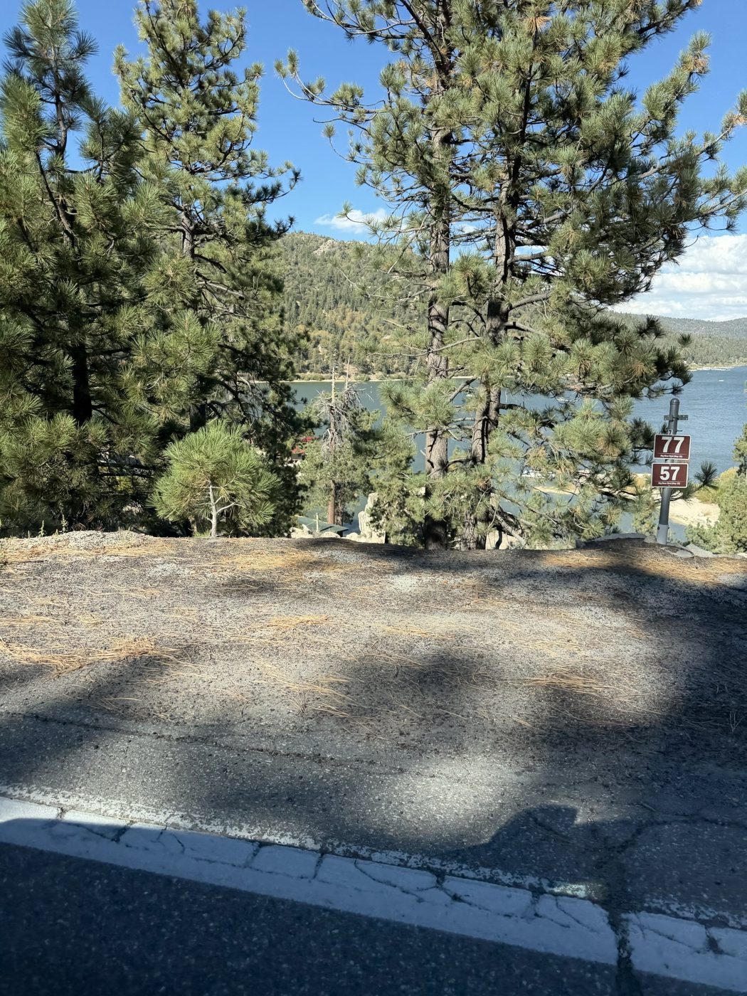
We left past the dam on the west end and went straight on to Lake Arrowhead, so it worked perfectly as a pit stop on the way.
Who it's for
Everyone, really. It's accessible, and there's plenty of room to explore, hike and get off-road. Just pick your timing.
Go be part of nature, but do your research on trails and off-roading - the maintenance looks inconsistent.